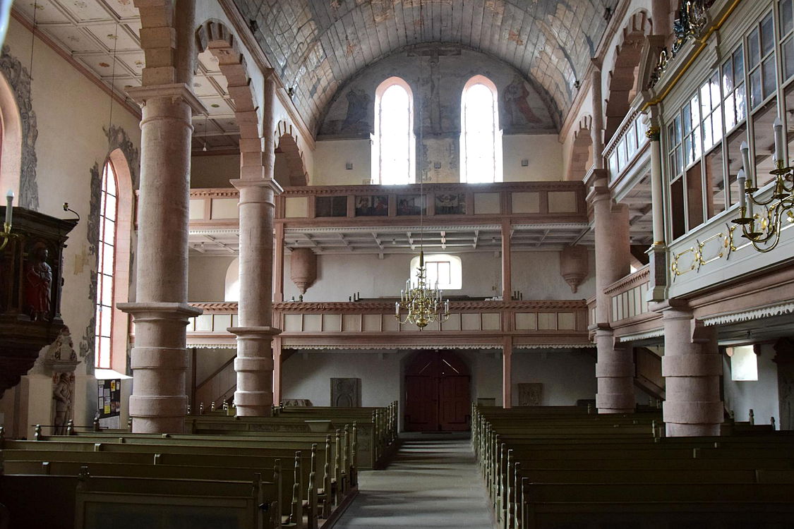
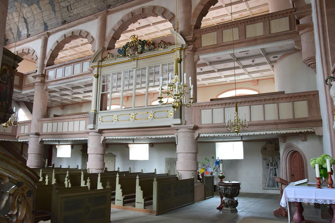
Pfarrkirche St. Michael
evangelisch-lutherisch
Ostheim v. d. Rhön
Kirchstraße
97645 Ostheim v. d. Rhön
Deutschland / Bayern / Rhön-Grabfeld (Kreis) / Ostheim v. d. Rhön
Regions-Navigation: vorherige - nächste
Details
Kirchl. Gliederung:
Ev.-Luth. Kirche in Bayern
Koordinaten:
50°27'34.0"N 10°13'53.0"E
GPS:
50.459455, 10.231400
Aufnahmedatum Fotos:
27.08.2022
Kamera:
Nikon D5300
Merkmale:
Chorturm
![](content/files/deutschland/bayern/franken/rhoengrabfeld/ostheim/a.jpg)
![](content/files/deutschland/bayern/franken/rhoengrabfeld/ostheim/i01.jpg)
![](content/files/deutschland/bayern/franken/rhoengrabfeld/ostheim/i02.jpg)
![](content/files/deutschland/bayern/franken/rhoengrabfeld/ostheim/i03.jpg)
![](content/files/deutschland/bayern/franken/rhoengrabfeld/ostheim/i04.jpg)
![](content/files/deutschland/bayern/franken/rhoengrabfeld/ostheim/i05.jpg)
![](content/files/deutschland/bayern/franken/rhoengrabfeld/ostheim/i06.jpg)
![](content/files/deutschland/bayern/franken/rhoengrabfeld/ostheim/i07.jpg)
![](content/files/deutschland/bayern/franken/rhoengrabfeld/ostheim/i08.jpg)
![](content/files/deutschland/bayern/franken/rhoengrabfeld/ostheim/i09.jpg)
![](content/files/deutschland/bayern/franken/rhoengrabfeld/ostheim/i10.jpg)
![](content/files/deutschland/bayern/franken/rhoengrabfeld/ostheim/i11.jpg)
![](content/files/deutschland/bayern/franken/rhoengrabfeld/ostheim/i12.jpg)
![](content/files/deutschland/bayern/franken/rhoengrabfeld/ostheim/i13.jpg)
![](content/files/deutschland/bayern/franken/rhoengrabfeld/ostheim/i14.jpg)